Camera App Question-Map Overlay-Real Time

ESH1978

New member
Jun 22, 2018
0
0
0
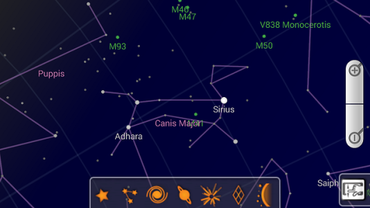
Does anyone know of any app that will work as a map overlay in the camera? What I am looking for is the ability to look at the screen and whatever is seen by the camera has an overlay of map data. For instance, I am standing on a hill by a town and point my camera at the town and an overlay of town name will show up along with road names and other data typically found on a map. Basically something like the cam overlay Google has for the sky that will point out stars, planets, constellations, etc. but for here on Earth instead. Is this available? Free or paid, makes no difference to me. If not, is this even feasible? Seems with the accuracy of GPS these days it would be possible. Google maps can even make a frighteningly accurate read of a pics locations even if the GPS data isn't saved with the photo. If so, I think someone with a much sharper mind than I have could make big $$$ if they developed it. I just ask for a free copy as payment for the idea. :D

Thanks in advance for the help!
 

Attachments

  • Google SkyMap.png
    Google SkyMap.png
    103.9 KB · Views: 6
Take a look at these two GPS navigation apps and see if they get you close to what you want:
Waze
Sygic
 
Thanks for the help! I actually ran across Sygic last night while doing some digging. I have downloaded but have yet to open the app. Will see how it is shortly. Waze is one I have used in the past. Quite often actually until I had to ban myself because I almost drove into oncoming traffic on the interstate because my dumba** was pay far too much attention to Waze and not the road. When I did have Waze I never saw any augmented reality like options or features. It's possible I overlooked it. You happen to know the name of the feature?

I also have found a few other apps that are amazing. Currently trying them to see if they will do the job. They are ViewRanger, PeakLens, and GeoGoggle. GeoGoggle is a bit older with pretty basic tools but it does the job. The other 2 appear to be apps originally intended for hikers or outdoor enthusiasts. They are touted as AR apps that will label natural landmarks like mountains, lakes, etc. that you are viewing through your cam. ViewRanger is so far winning between the 2. It also labels towns, cities, shopping centers, and quite a number of additional location types. It's also packed with a ton of other features like maps, various GPS data, multiple navigation modes, and a lot more. If you or anyone is looking for something like what I described in my initial post then at least check out ViewRanger. Oh yeah, it's free also.
 

Forum statistics

Threads
954,016
Messages
6,960,260
Members
3,162,899
Latest member
dkpiper