Planimeter is a map ruler tool. Distance, area, angle can be measured on Google Maps:
https://forums.androidcentral.com/e...com.vistechprojects.planimeter&token=ZUhKKPzZ
Features:
FEATURES:
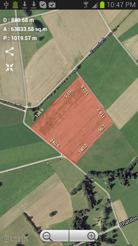
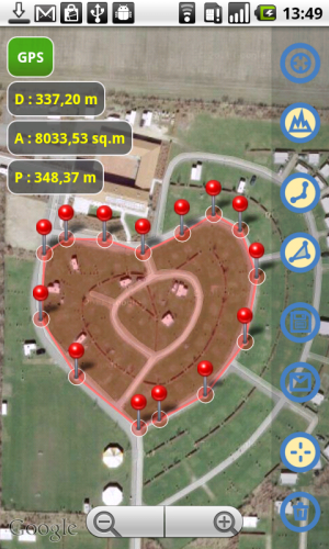
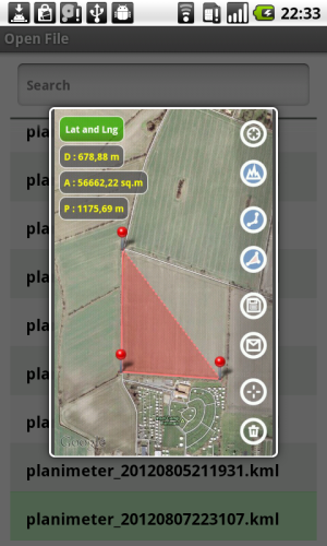
- Accurate distance and area calculation
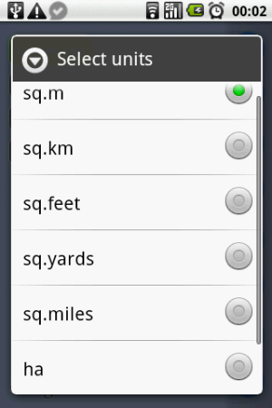
- Metric and Imperial units
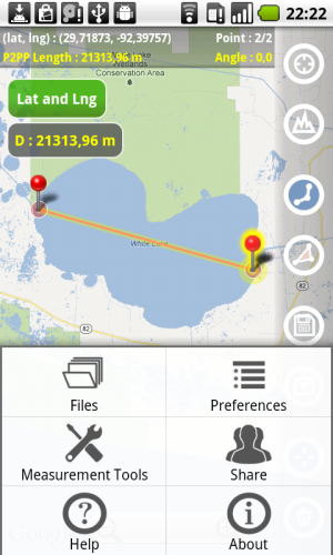
- Distance between points
- Angle between lines
- Navigation through points by touch
- GPS coordinates for selected point
- GPS accuracy settings
- Manage saved KML files: open, save, preview, share
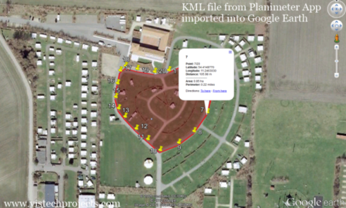
- Export data to Google Earth and Google Maps (KML file)
- Share by email or Skype: picture, coordinates as text message, KML file
- Save screenshot on SD card
- Map/Satellite View
- Zoom and Edit points
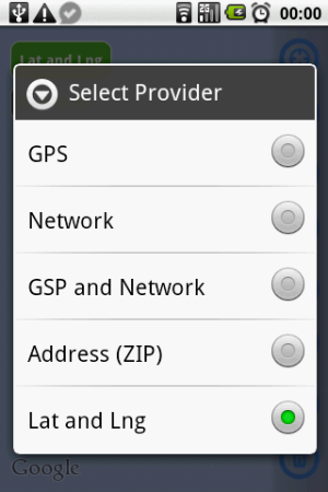
- Current location search with GPS and Network
- Address (ZIP , area code) search
- Delete selected/all points
- Fit-in and center points on screen (quick point search)
- Add points by touch
- Add current GPS / Network location as a point
- add points with Latitude and Longitude coordinates
- Last point is auto centered - make it easy to use on scaled up map
- Option to show/hide lines
-Preferences: GPS accuracy, GPS time search, delete option and color theme
Don't forget you have 15 min to try the app on Google Play!
Feel free to contact us with any questions or suggestions.
Thank you for your support.
https://forums.androidcentral.com/e...com.vistechprojects.planimeter&token=ZUhKKPzZ
Features:
FEATURES:
- Accurate distance and area calculation
- Metric and Imperial units
- Distance between points
- Angle between lines
- Navigation through points by touch
- GPS coordinates for selected point
- GPS accuracy settings
- Manage saved KML files: open, save, preview, share
- Export data to Google Earth and Google Maps (KML file)
- Share by email or Skype: picture, coordinates as text message, KML file
- Save screenshot on SD card
- Map/Satellite View
- Zoom and Edit points
- Current location search with GPS and Network
- Address (ZIP , area code) search
- Delete selected/all points
- Fit-in and center points on screen (quick point search)
- Add points by touch
- Add current GPS / Network location as a point
- add points with Latitude and Longitude coordinates
- Last point is auto centered - make it easy to use on scaled up map
- Option to show/hide lines
-Preferences: GPS accuracy, GPS time search, delete option and color theme
Don't forget you have 15 min to try the app on Google Play!
Feel free to contact us with any questions or suggestions.
Thank you for your support.
Attachments
-
 planimeter_screenshot20.png393.8 KB · Views: 27
 -
 planimeter_screenshot33.png134.5 KB · Views: 27
 -
 planimeter_screenshot_area_units.png17.5 KB · Views: 94
 -
 planimeter_screenshot_providers_lat.png20.8 KB · Views: 94
 -
 planimeter_screenshot38.png407.8 KB · Views: 30
 -
 GE_KML_sign_800x480.png871.9 KB · Views: 33